Philippines Says Photos Show China Airstrip Work–Major Chinese Reclamation of Disputed Johnson South Reef Creates Not Just Facts on the Ground, But Facts of Ground
Behold the incredible expanding Johnson South Reef, aka Mabini Reef, aka Chigua Reef (赤瓜礁)... Major Chinese reclamation of this disputed feature is creating not just facts on the ground, but facts of ground. Literally. While telling rival claimants to pound sand, Beijing pours sand.
In addition to analysis of the specific significance of this Chinese pumping and dumping of sand and other materials onto Johnson South Reef, the international community needs technologically-informed study of (is)land feature augmentation. Which parties are capable of such construction? Which have done so, or are doing so? How difficult is such buildup to accomplish? How demanding in materials shipment? How expensive? How effective and lasting is it likely to be over the longer term, particularly in light of wave erosion, storms, and possibly even rising sea levels?
Will we increasingly witness an Arms Race of Augmentation as rival claimants fortify features under their respective control with structures, ships, and sand? What does it mean for the otherwise potentially moderating influence of existing norms and international agreements such as the UN Convention on the Law of the Sea (UNLCOS) if islets, reefs, and rocks are substantially enhanced? What will it mean for South China Sea stability if additional military airstrips are built? My forecast: nothing good.
Click here, here, here, here, here, here, here, here, here, and here for additional articles and photographs documenting this latest effort to use Chinese engineering to physically transform the geostrategic situation. (Earlier, much larger examples include the Great Wall and the Grand Canal. More recently, major overland energy conduits such as the Sino-Burmese Kyaukphyu–Kunming oil and natural gas pipelines offer significant potential.)
“China’s Reclamation on Mabini Reef,” Department of Foreign Affairs, Republic of the Philippines, 15 May 2014.


15 May 2014 – This series of photographs, which were released by the DFA and gathered from Philippine intelligence sources, shows in stages the extensive reclamation by China on Mabini Reef (Johnson South Reef). These actions are considered destabilizing and in violation of the Declaration on the Conduct of Parties in the South China Sea (DOC) and international law. Mabini Reef is part of the Kalayaan Island Group (KIG) which is part of Philippine territory.
I’m not a lawyer, but this reads like an unambiguous claim by the Philippines to Johnson South Reef to me. Yet compare this to the official Chinese statement on the same day:
Q: “The Philippine side has released some photos showing China’s construction work in the Chigua Reef in the South China Sea. Can you confirm that?”
FMPRC Spokesperson Hua: “China has indisputable sovereignty over Nansha Islands including Chigua Reef and the contiguous waters. Whatever construction China carries out in the Chigua Reef is completely within China’s sovereignty.”
“Philippines Says Photos Show China Airstrip Work,” Japan News, 15 May 2014.
In this photo taken Feb. 25 by surveillance planes and released Thursday by the Philippine Department of Foreign Affairs, a Chinese vessel, top center, is used to expand structures and land on the Johnson Reef, called Mabini by the Philippines and Chigua by China, at the Spratly Islands in the South China Sea.
11:32 pm, May 15, 2014
The Associated Press MANILA (AP)—The Philippine government said it released on Thursday military surveillance pictures of Chinese land reclamation on a reef claimed by Manila in the South China Sea that show Beijing violated a regional agreement not to escalate territorial disputes.
Foreign Affairs Department spokesman Charles Jose said the pictures show Chinese aggressiveness in asserting its claims over the entire South China Sea.
The aerial photographs were accompanied by a caption stating that they were obtained from “Philippine intelligence sources.” The caption said the “extensive reclamation” by China on the Johnson South Reef, called Mabini by Manila and Chigua by Beijing, was “destabilizing.”
The Chinese Embassy in Manila had no immediate comment, but a Foreign Ministry spokesman in Beijing has said that the area is part of China’s territory, and that any Chinese activities at the reef should be of no concern to Manila. …
Philippine Foreign Secretary Albert del Rosario said Wednesday that it was not clear what China would build on the reclaimed land, but that an airstrip was a possibility.
A senior government official, speaking on condition of anonymity because he was not authorized to talk about the issue, said it could also be used as a military base and a resupply and refueling hub. The official said the reclamation was first detected by air force planes six months ago.
An airstrip or a military base on the reef would boost the mobility of Beijing’s naval and air forces in the South China Sea region, far from the Chinese mainland. …
Chinese Foreign Ministry spokeswoman Hua Chunying said in Beijing on Wednesday that the reef was part of China’s territory and any construction there is covered by its “sovereignty rights.”
The Philippine government estimates that the Chinese have reclaimed a land mass of at least 30 hectares (74 acres) from the reef, which Manila says is part of its western Palawan province. What has emerged from the coral outcrop appears like a vast tree-less island of white sand in the middle of turquoise blue waters.
One of the released pictures shows a long pipe connected to a large dredging vessel on the northwestern edge of the reef. A concrete building, likely to be China’s outpost on the reef, stands on the southern edge of the emerging islet. A ship is anchored close by.
The reef, part of the Spratly Islands chain, is also claimed by Vietnam, which fought a deadly naval battle against China in the area in 1988.
For analysis of how difficult it typically is for continental powers to overcome the stubborn facts of geography–let alone alter them in their favor–and China’s exceptional achievements in both regards, see:
Andrew Erickson, Lyle Goldstein, and Carnes Lord, “When Land Powers Look Seaward,” U.S. Naval Institute Proceedings, 137.4 (April 2011): 18-23.
Andrew Erickson, Lyle Goldstein, and Carnes Lord, “China Sets Sail,” The American Interest,Vol. 5, No. 5 (Summer, May/June 2010): 27-34.
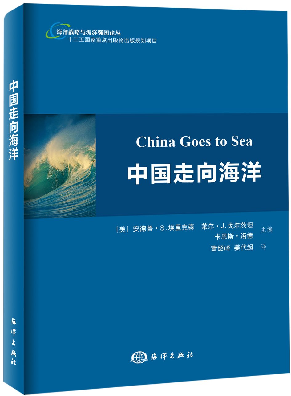
Andrew S. Erickson, Lyle J. Goldstein, and Carnes Lord, eds., China Goes to Sea: Maritime Transformation in Comparative Historical Perspective (Annapolis, MD: Naval Institute Press, July 2009).

